Understanding Soil Health Through Field Variability
Explore Project
48 farmers, 12 agricultural advisors, and six extension professionals
Stakeholders Engaged
Yield-zone delineation module, stakeholder-informed measurement workflow, and training toolkit
Solution Delivered
2020 - 2025
Impact & Adoption
Applied across approximately 10,000 acres
YearS
Overview
Challenge
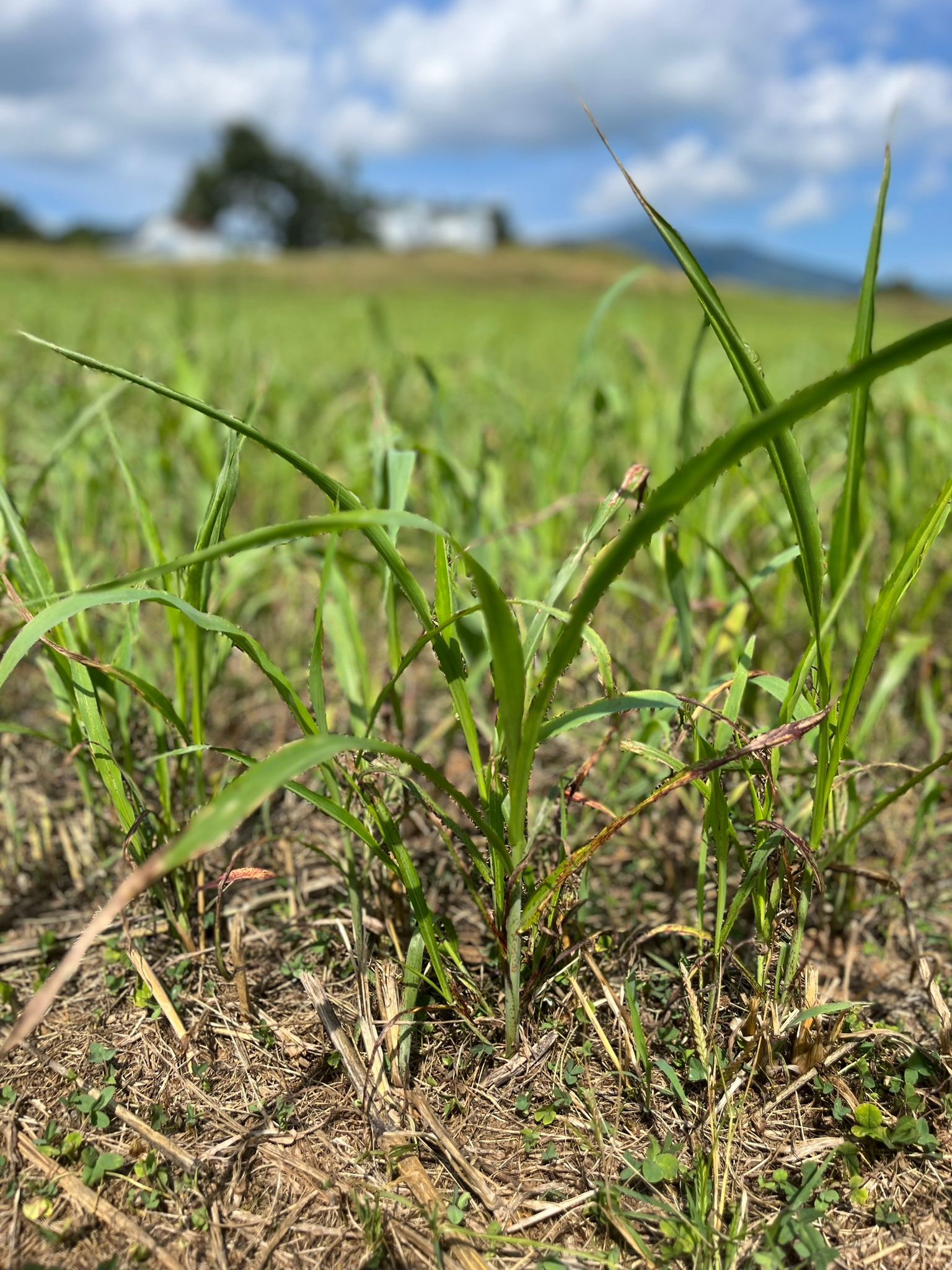
Traditional field-management approaches may treat an entire field as if soils and crop conditions are uniform. Farmers and advisors often recognize underlying patterns through experience, but translating that knowledge into consistent field zones, measurement plans, and management decisions can be difficult.
Claim or decision
The project examined how co-designed field zones could improve the targeting and interpretation of soil and agronomic measurements.
Stakeholders
Farmers, crop advisors, and extension professionals, including 48 farmers, 12 agricultural advisors, and six extension professionals.
Evidence used
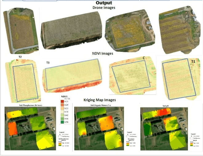
Field boundaries and management history; yield-zone delineation; soil sampling locations; soil organic carbon and nutrient records; water-related indicators; remote-sensing observations; farmer and advisor interpretation.
Method
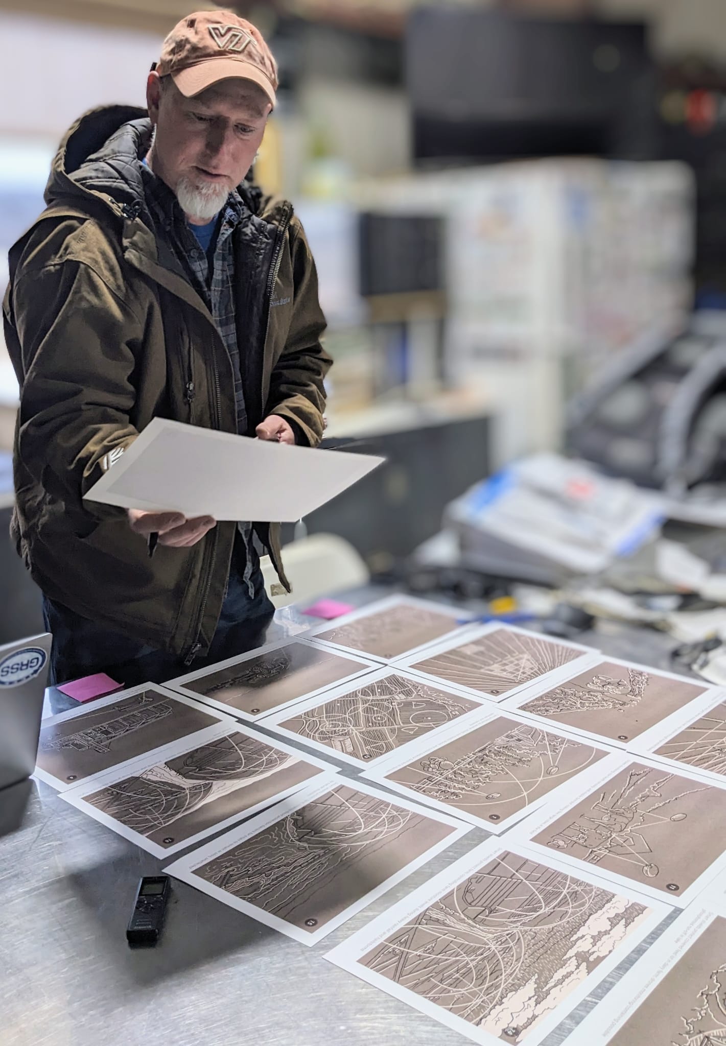
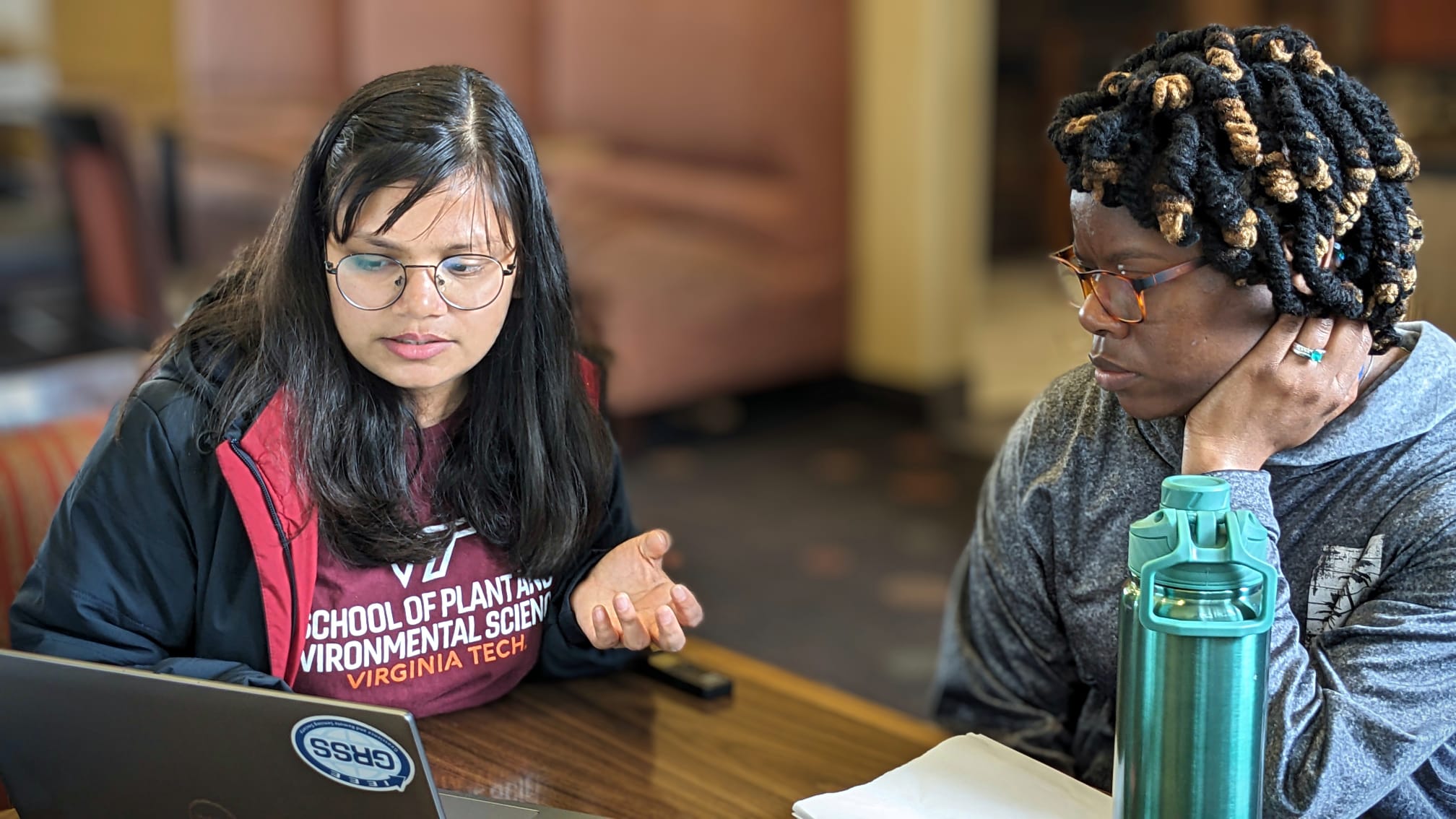
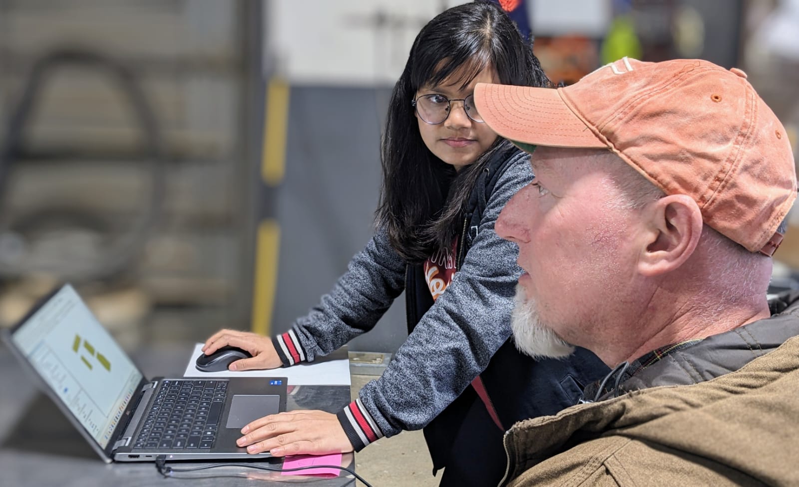
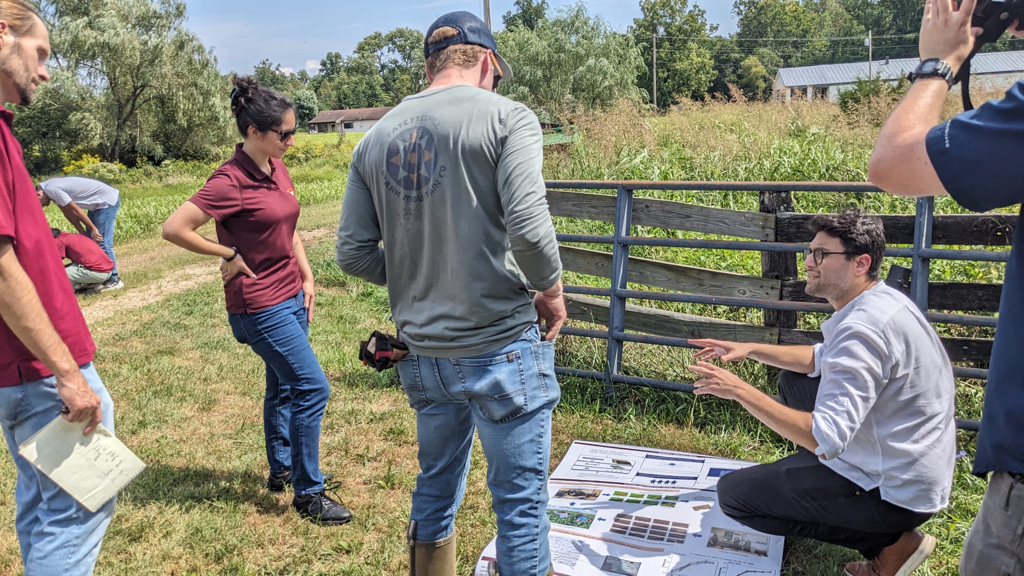
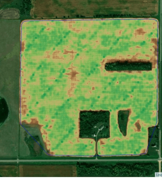
Agropod used a co-design process with 48 farmers, 12 crop advisors, and six extension professionals. Participants contributed practical knowledge about field performance, management history, and local production conditions, which Agropod combined with yield and geospatial information to develop field zones for targeted sampling, interpretation, and decision-making.
Process
What We Developed: Yield-Zone Delineation Module, Training Toolkit, and a Collaborative Interpretation Process. Project profile: 48 farmers, 12 crop advisors, six extension professionals, approximately 10,000 acres, 2020–2025.
Results
This project reflects Agropod’s broader experience in responsible digital agriculture and participatory innovation. Project outcomes should be interpreted within the specific geography, stakeholders, data, and period described. It informs how we work with spatial variability and field-level evidence.