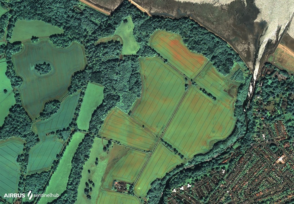
Geospatial Intelligence for Agriculture and Land Management

Explore Project
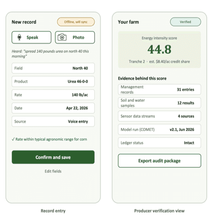
Field and supply-shed mapping, remote-sensing time series, evidence-layer integration, sampling recommendations, monitoring dashboards, and method documentation

Stakeholders Engaged

Public and private organizations across agriculture, environmental monitoring, and land management

Solution Delivered

Ongoing

Impact & Adoption

Monitoring patterns and guiding ground investigation

YearS

Overview
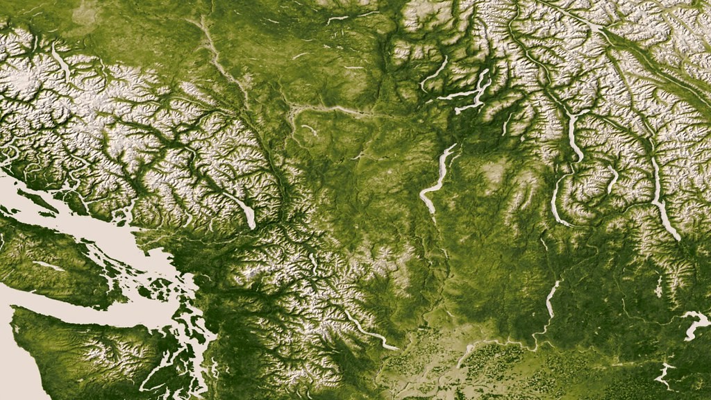
Turning location-based information into practical understanding. Soil conditions, crop growth, water availability, vegetation, land use, and environmental risks vary from one location to another. Agropod helps organizations use maps, satellite observations, spatial data, and local knowledge to understand these patterns and make more informed decisions.

Turning location-based information into practical understanding. Soil conditions, crop growth, water availability, vegetation, land use, and environmental risks vary from one location to another. Agropod helps organizations use maps, satellite observations, spatial data, and local knowledge to understand these patterns and make more informed decisions.

Turning location-based information into practical understanding. Soil conditions, crop growth, water availability, vegetation, land use, and environmental risks vary from one location to another. Agropod helps organizations use maps, satellite observations, spatial data, and local knowledge to understand these patterns and make more informed decisions.

NASA Goddard Photo and Video

Challenge

Geospatial technologies can produce large quantities of imagery and spatial information, yet organizations often struggle to translate the data into meaningful action. Common challenges include selecting the right source, interpreting imagery, comparing different scales, distinguishing patterns from noise, working with incomplete data, and communicating results to nontechnical audiences.

Claim or decision

Remote observations can identify patterns, guide sampling, and support traceability while remaining subject to field-level confirmation and local interpretation.

Stakeholders

Public and private organizations working across agriculture, environmental monitoring, and land management.

Evidence used

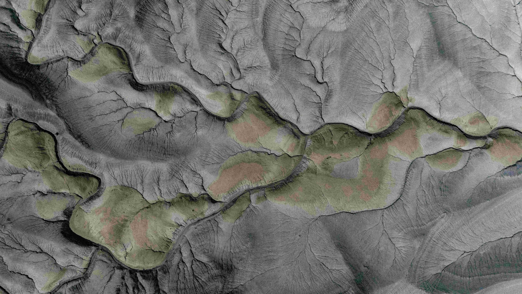
Satellite imagery; drone observations; weather data; geospatial layers; ground-cover monitoring; vegetation and crop-vigor patterns; surface-temperature patterns; field variability; land-use history; local interpretation.

Method

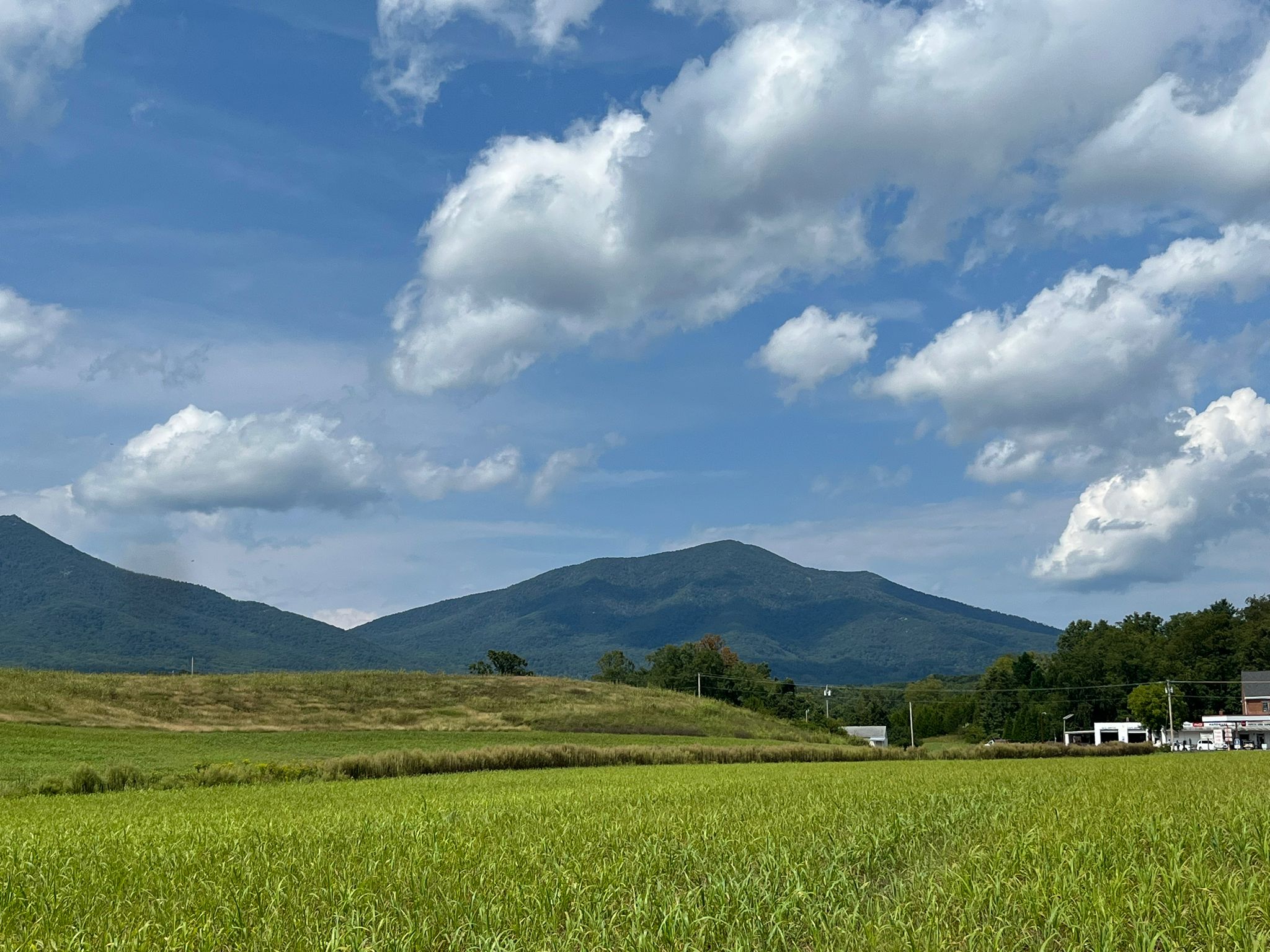
Agropod starts with a clearly defined decision: what must be understood, what will the analysis support, what scale is appropriate, what information already exists, what local knowledge should inform interpretation, and how uncertainty should be communicated. This problem-first approach keeps geospatial work relevant, practical, and cost-conscious.
Process

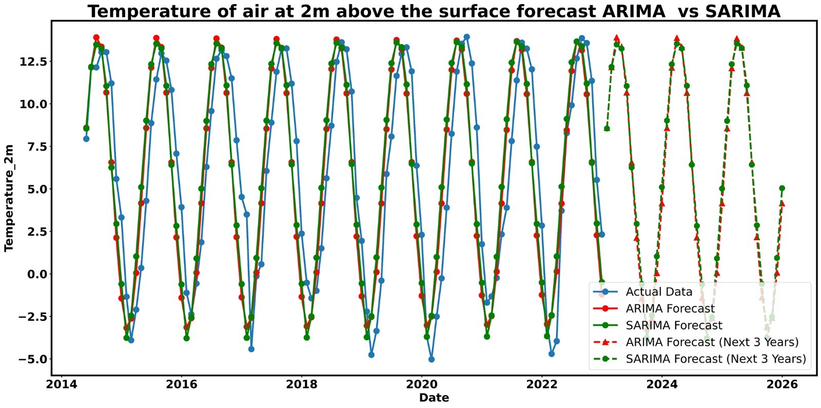
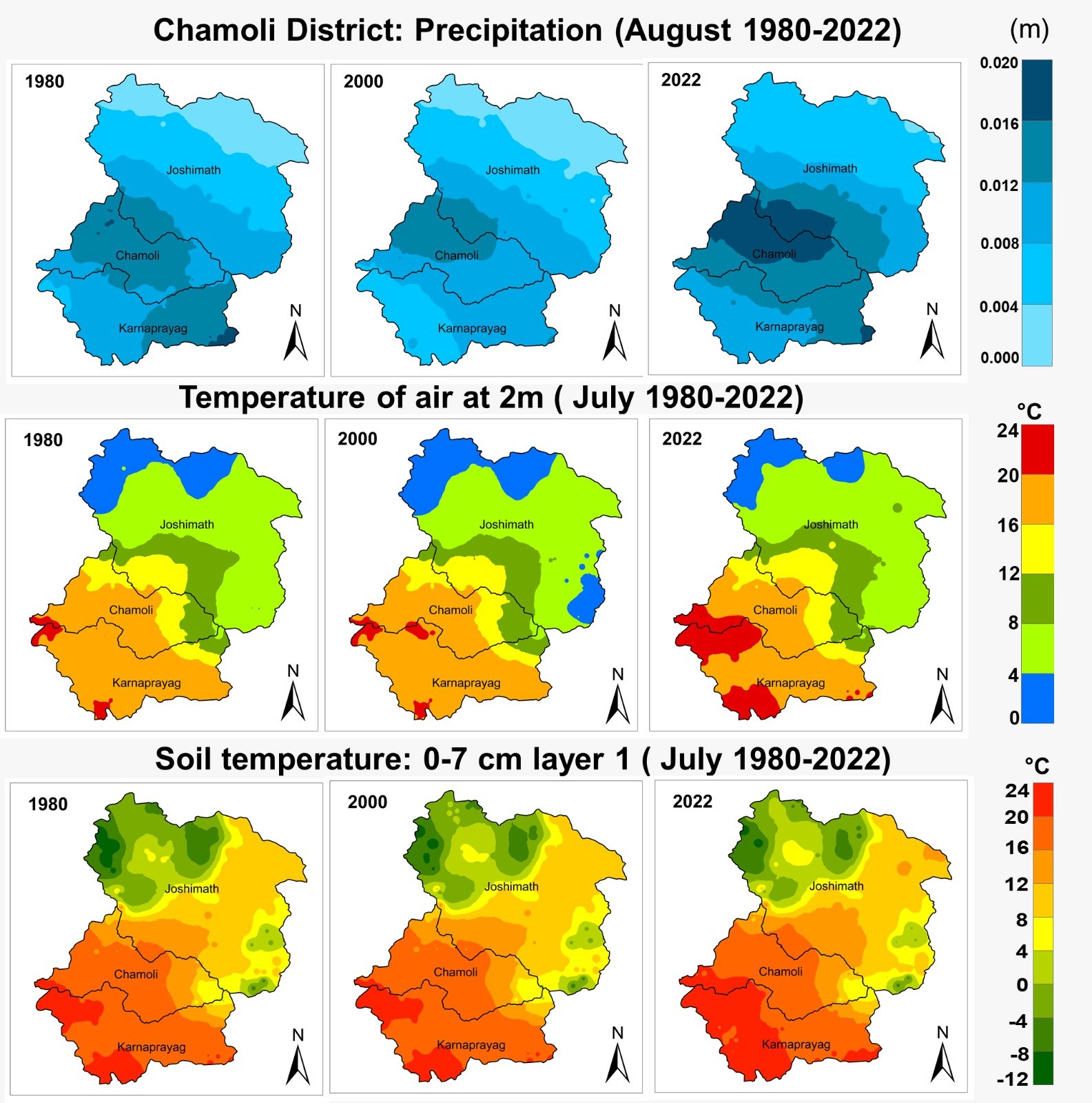
Areas of application include agriculture, environmental monitoring, and land management. Agropod delivers field variability analysis, crop-condition monitoring, yield patterns, soil-sampling design, vegetation change, water-related patterns, change detection, and decision-support mapping.
Results

This project reflects Agropod’s broader experience in responsible digital agriculture and participatory innovation. Project outcomes should be interpreted within the specific geography, stakeholders, data, and period described. It informs how we integrate remote observations with local knowledge.


Contact

Trusted evidence for regenerative agriculture

Contact

Trusted evidence for regenerative agriculture

Contact

Trusted evidence for regenerative agriculture

Trusted evidence for regenerative agriculture

Agropod LLC provides agricultural measurement, evidence integration, traceability, and verification-readiness services.

Agropod LLC provides agricultural measurement, evidence integration, traceability, and verification-readiness services. Agropod is not currently an accredited third-party validation or verification body. Services do not constitute tax, legal, accounting, or regulatory advice, and do not guarantee eligibility for a payment, premium, credit, or program.

Virginia:

12:34:45

© 2026 Agropod LLC. All rights reserved.

Trusted evidence for regenerative agriculture

Agropod LLC provides agricultural measurement, evidence integration, traceability, and verification-readiness services.

Agropod LLC provides agricultural measurement, evidence integration, traceability, and verification-readiness services. Agropod is not currently an accredited third-party validation or verification body. Services do not constitute tax, legal, accounting, or regulatory advice, and do not guarantee eligibility for a payment, premium, credit, or program.

Virginia:

12:34:45

© 2026 Agropod LLC. All rights reserved.

Trusted evidence for regenerative agriculture

Agropod LLC provides agricultural measurement, evidence integration, traceability, and verification-readiness services.

Agropod LLC provides agricultural measurement, evidence integration, traceability, and verification-readiness services. Agropod is not currently an accredited third-party validation or verification body. Services do not constitute tax, legal, accounting, or regulatory advice, and do not guarantee eligibility for a payment, premium, credit, or program.

Virginia:

12:34:45

© 2026 Agropod LLC. All rights reserved.